(nr Cooke City MT)
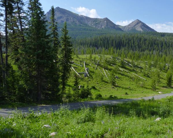
After leaving Yellowstone National Park, I found a camp just before dark along the Beartooth Highway. No tent campers allowed due to frequent grizzly visits. A deer greeted me as I paid my fee. The morning light revealed a nice view of the mountains.
Betroth Highway – Colter CG
Driving the highway, I came across a pull-out at Crazy Creek Falls. An amazing fall and cascade was a very short hike from the road. The trail continued into the Absaroka-Beartooth Wilderness.
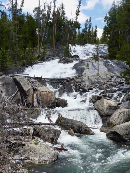
Crazy Creek Falls
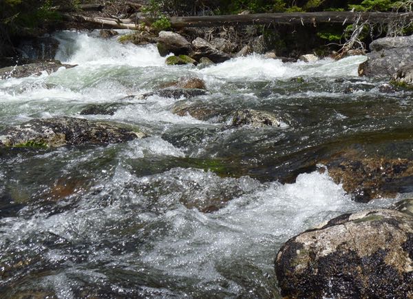
Crazy Creek Cascades
Further up the road, there was another fall. I believe it was Lake Creek Falls, that flowed from a couple of lakes upstream. The water was funneled through a narrow gap, so it plunged rapidly and was mostly foamy.
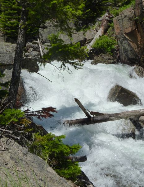
Lake Creek Falls
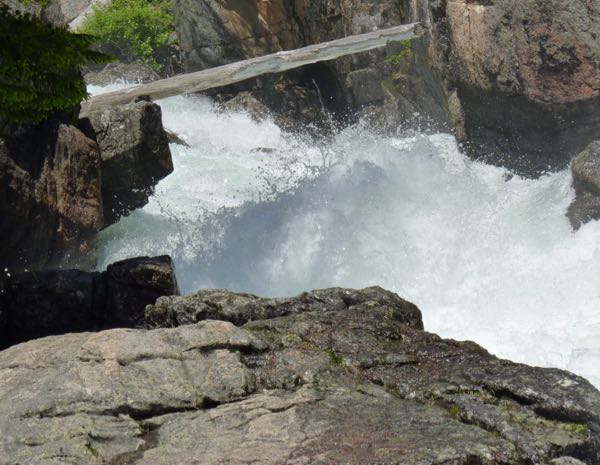
Lake Creek Cascade
Some impressive cliffs were seen, and jagged peaks loomed in the distance. For my short trip on the Beartooth Highway, I got to see some of my favorite things.
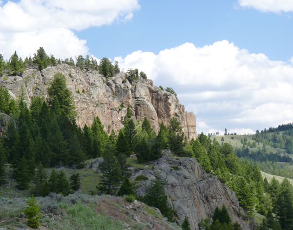
Cliff along Beartooth Highway
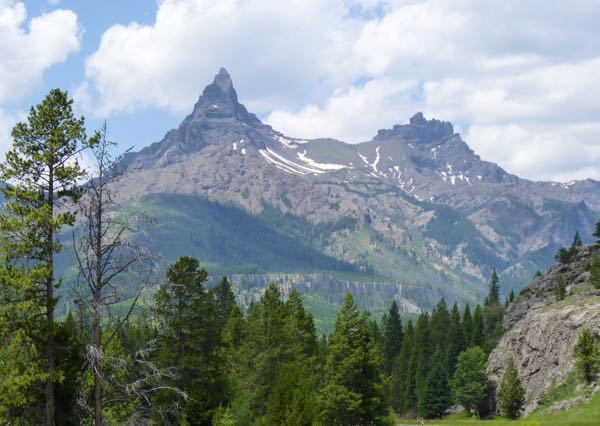
Peaks looking back west
One last stop was at Clarks Fork overlook. From there, you could see into the expansive canyon where the Clarks Fork-Yellowstone River flowed.
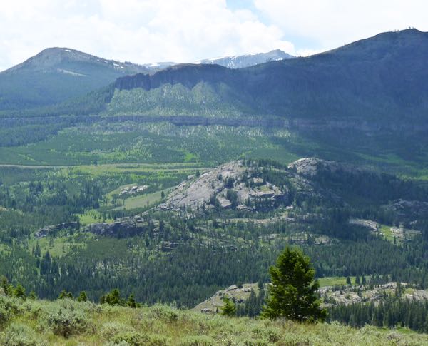
Clarks Fork Canyon from Overlook
Luckily, my route did not continue up to the almost 11,000 ft Beartooth Pass. Instead, I turned onto Chief Joseph Highway heading back southeast into Wyoming.
Camp: Custer NF-Colter CG drycamp
Scene: Mountains, cliffs, creeks, waterfalls
No comments yet.