(nr Blanding UT)
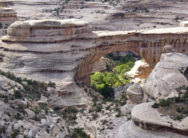
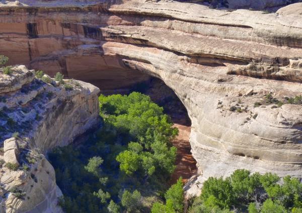
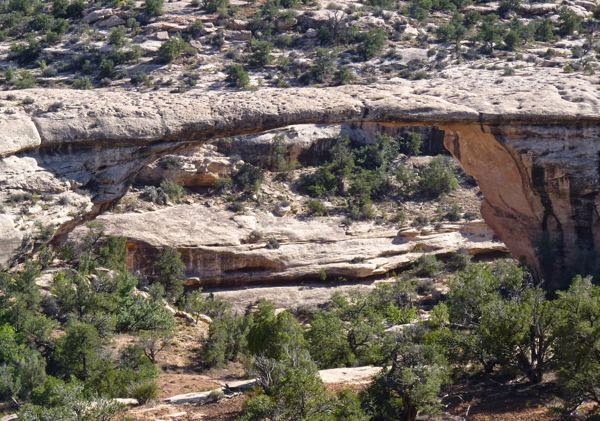
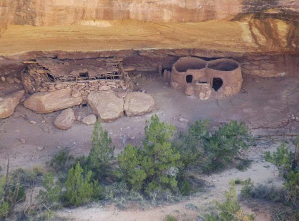
On the way across UT-95, I stopped to see Natural Bridges National Monument. The park featured three natural rock bridge formations, and a native cliff dwelling ruin.
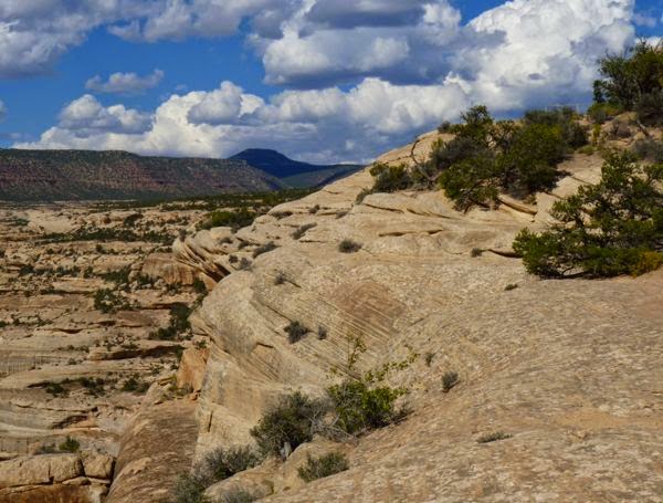
It had a scenic drive with viewpoints for each feature, and also hiking trails to them. I chose to drive the byway, and only hiked the two shortest trails. After all, it was sunny and 90 degrees when I was there. (Typically 77 in September)
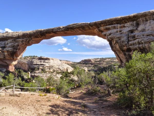
The best viewpoint was for Owachomo bridge; and the trail to its base was only 180 ft elevation drop and .4 mile round trip. So, that’s the one I chose to walk.
Horse Collar Ruin viewpoint was a .6 mile round trip on mostly hard rock across a mesa. The actual ruin was on the opposite canyon wall. My 486mm zoom was barely enough for a decent shot.
The park’s campground was full, so I found a boondock in the surrounding BLM land; not far from the park. It was still a bit early, but I was tired from being in the sun and heat for hours.
Camp: BLM-Boondock
Scene: Mesas, gorges, bridges, ruins
I have passed by the Natural Bridge Ntl Mon. on the last 3 trips to that area…next time I’m for sure stopping, this makes it official seeing all the arches and I didn’t know about the ruin so thanks for this summary!
Thanks for commenting Sondra. I believe you would enjoy it. Suggest going when the weather is a bit cooler, as it is all out in the open.
Did you walk down and look at the Horse Collar Ruins? Looks like a nice path leading down that way.
No. It is off limits except to researchers with a special permit. What you don’t see is that the ruin is recessed into a steep cliff.