(nr Winston NM)
My camp was at the edge of a ravine. As I stood at the rim, I wondered what it would look like from below. So, I decided to hike down to check it out, and get some photos.
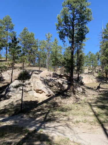
Not far from my rig was a steep decline that took me down to a wash at the bottom. It would be a dangerous place in a flash flood. But, there was no sign of any such event.
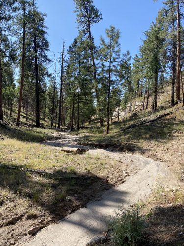
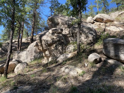
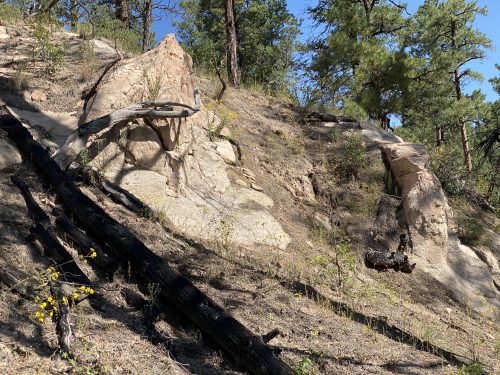
The cliff behind my spot was not vertical, but it was still pretty high with repeated drop offs. Probably a 100 feet drop or so from the rim. Note to self to avoid getting too close to the edge.
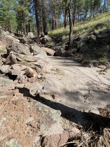
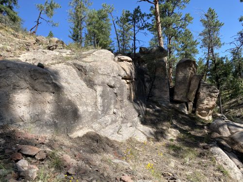
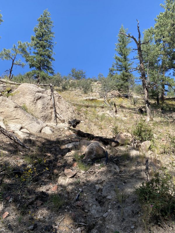
I walked around down there getting some pictures of the slope, the dry wash, and some rock formations. Then I hiked up the other side in an effort to see my rig and get a view showing the height.
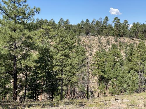
From part way up, Tardis could be seen amongst the trees on the opposing ridge. Having satisfied my curiosity, I returned to camp going back down into the ravine and back up the incline again.
Camp: Gila NF-Taylor Peak Rd boondock
Scene: Mountains, forest, ravine
Nice pics
Thanks. You know how much I like rocks. 😀
Looks like a great place for a bit of meandering. Thanks for the pictures.
Yes. One could spend a great deal of time down there.